
100% Editable PowerPoint Maps & Vector SVGs
Download presentation-ready vector maps for 233+ countries and 4,008+ administrative state boundaries in directly editable Microsoft PowerPoint (.PPTX), layered SVG, and interactive HTML.
Browse by Continent
Find the perfect vector map for your next presentation
Popular Country Collections
Explore PowerPoint maps by top global destinations


Featured PowerPoint Maps
Handpicked premium presentation maps for your business decks
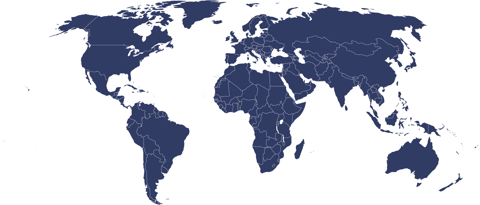
World Map Editable PowerPoint Presentation
Editable PowerPoint Map
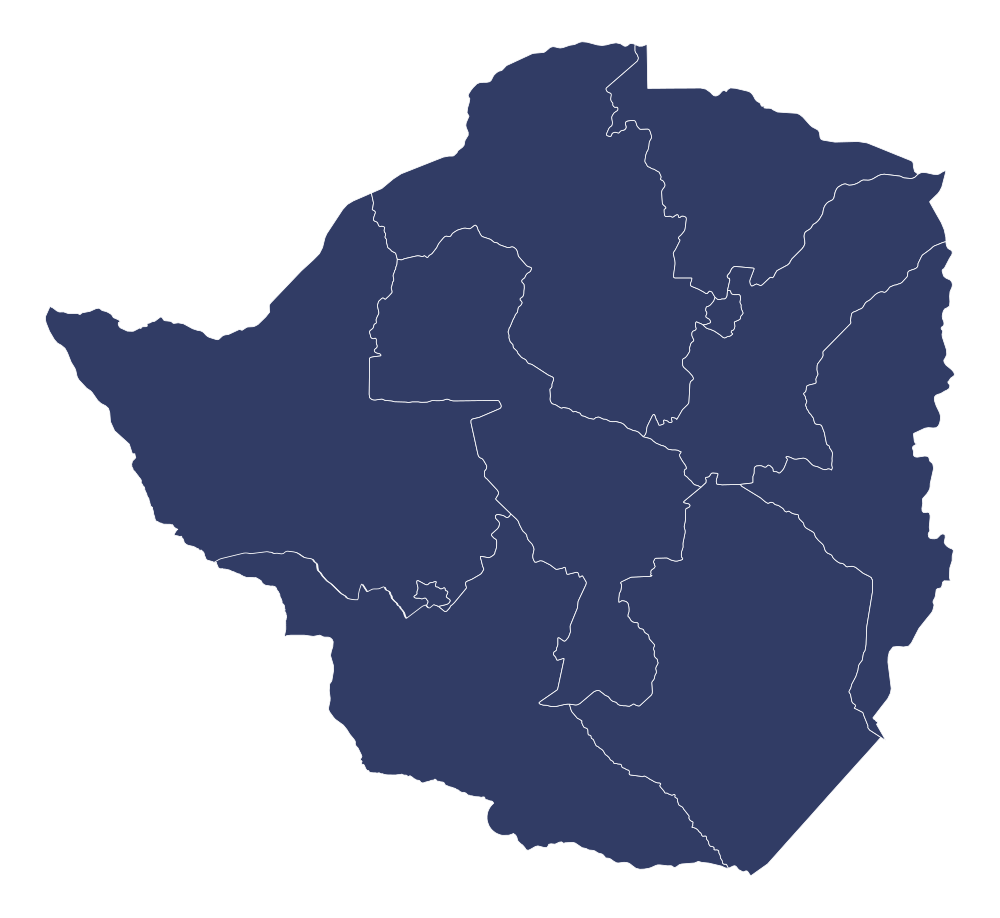
Zimbabwe Editable PowerPoint Map
Editable PowerPoint Map
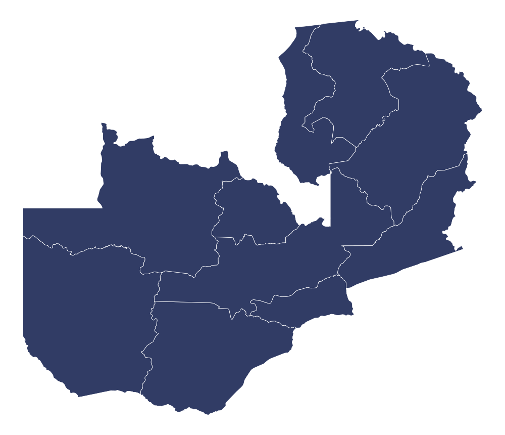
Zambia Editable PowerPoint Map
Editable PowerPoint Map
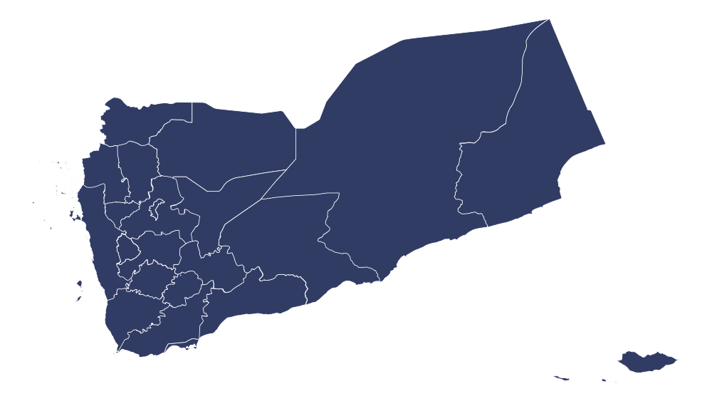
Yemen Editable PowerPoint Map
Editable PowerPoint Map
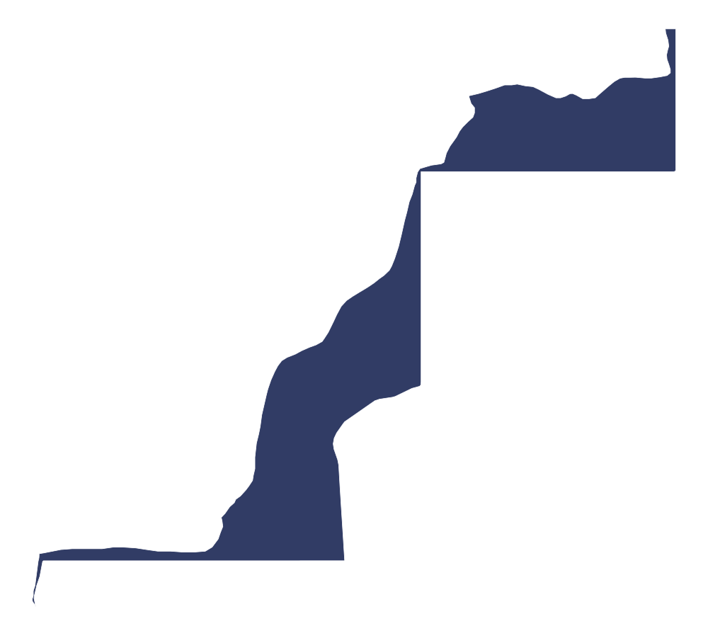
Western Sahara Editable PowerPoint Map
Editable PowerPoint Map

Wallis and Futuna Editable PowerPoint Map
Editable PowerPoint Map
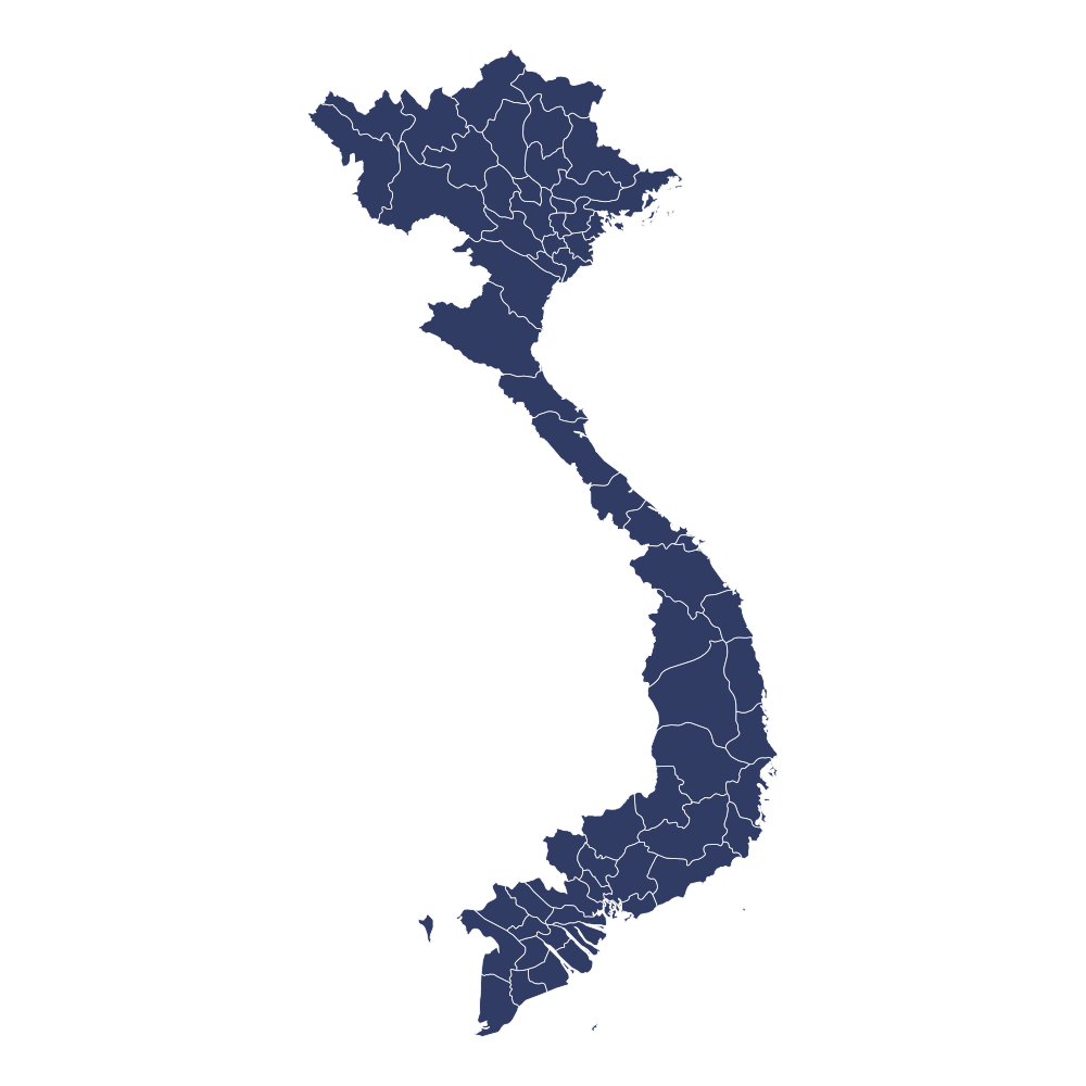
Vietnam Editable PowerPoint Map
Editable PowerPoint Map
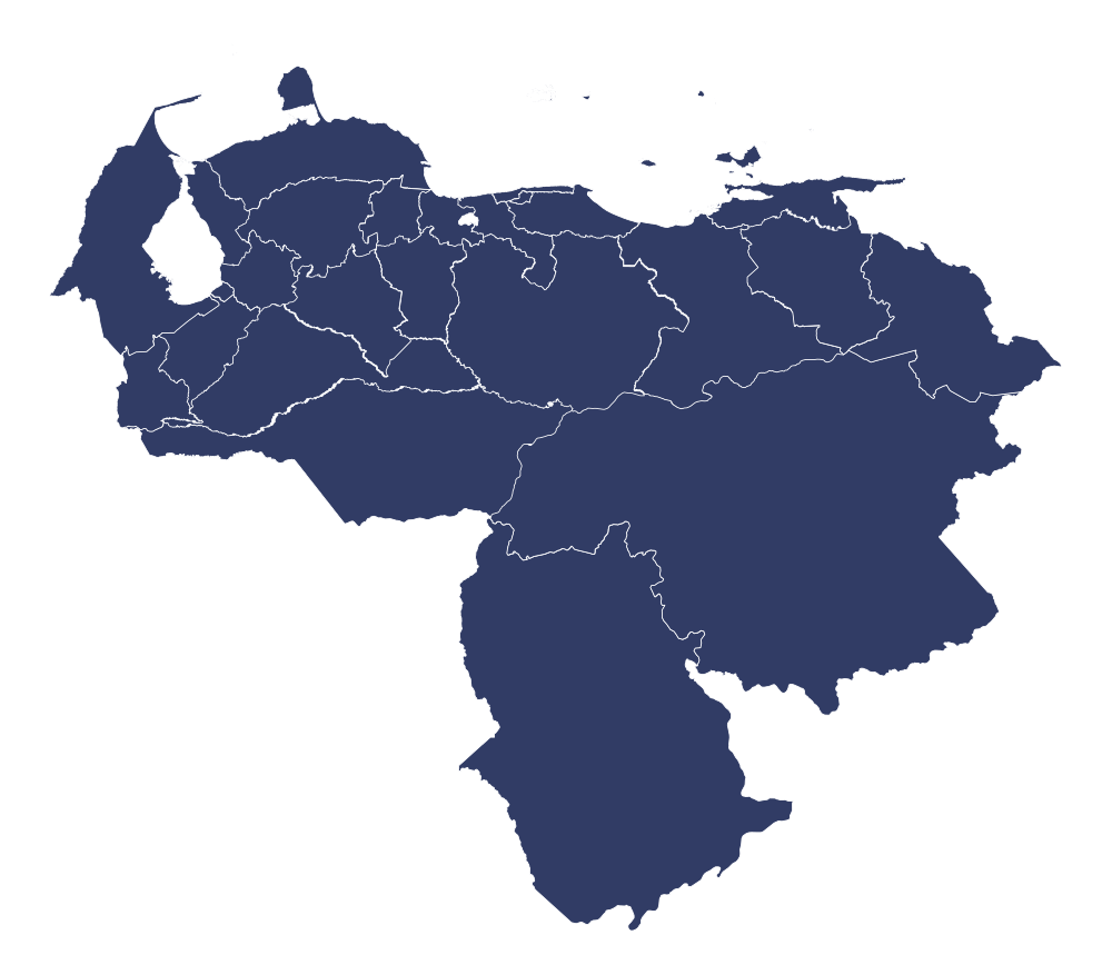
Venezuela Editable PowerPoint Map
Editable PowerPoint Map

Vatican City Editable PowerPoint Map
Editable PowerPoint Map
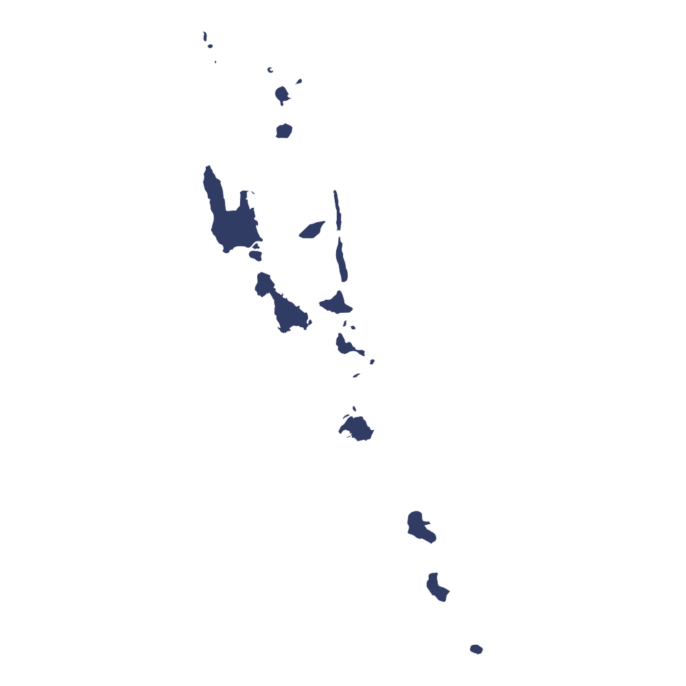
Vanuatu Editable PowerPoint Map
Editable PowerPoint Map
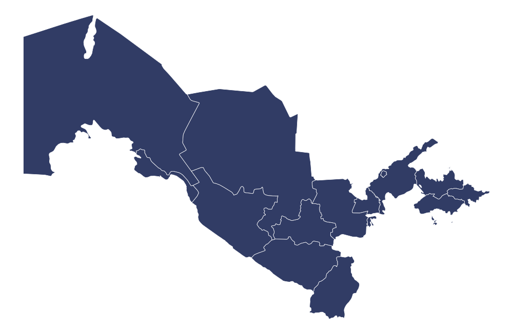
Uzbekistan Editable PowerPoint Map
Editable PowerPoint Map
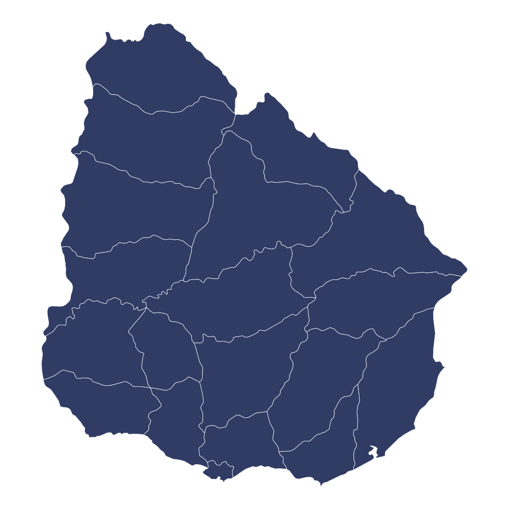
Uruguay Editable PowerPoint Map
Editable PowerPoint Map
Why 10,000+ Professionals Choose EditMapStudio
100% Editable Vector Shapes
Every state and territory is an independent vector shape. Customize colors, strokes, labels & sizes in PowerPoint effortlessly.
Instant CDN Download Delivery
Immediate download access upon checkout. All purchases are stored in your user dashboard forever.
Lifetime Commercial License
Use in unlimited client pitches, business presentations, YouTube videos, websites, and commercial publications.
233+ Countries & 4,008+ States
The most comprehensive geographic map repository with verified cartographic boundaries and projections.
24/7 Dedicated Support
Expert customer assistance available around the clock to support your presentation deadlines.
Verified Presentation Quality
Clean vector curves without bloated anchor points, ensuring lightning-fast PowerPoint slide rendering.
Who Uses Our Editable Maps?
Join thousands of professionals who save hours of design time and build presentations that actually convert.
Sales & Marketing Teams
Highlight sales territories, showcase global market expansion, and present regional revenue data with high-impact visuals that win client pitches.
Educators & Researchers
Visually teach history, geography, and geopolitics. Color-code specific states or regions instantly to present complex demographic data clearly.
Real Estate & Logistics
Map out supply chains, delivery routes, and property portfolios. Drop pins and customize regional boundaries to plan expansion effortlessly.
Simple 3-Step Process
Find Your Map
Search any of 233 countries or 4,008 states and preview live interactive vectors.
Instant Download
Complete secure checkout and download the .PPTX, .SVG, and .HTML package immediately.
Customize & Present
Open in Microsoft PowerPoint, Google Slides, or Keynote and edit shapes to match your brand.